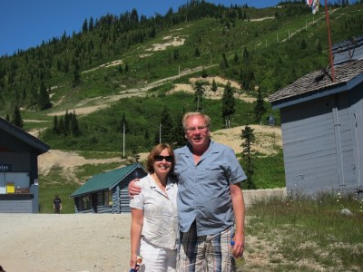
A Likely story….
We discovered a terrific RV and Golf park, right in the middle of nowhere, California. This is the midst of agriculture and ranching in NE California, the closest town is Likely, CA. The only real civilization here is that California Highway 395 – a 2 lane North South route – runs through it.
It appears the owner, some 20 years ago, decided that RVers and others would like to have a nice place to stop over, so he built an 18 hole golf course, and added an RV park. We don’t golf, but from the people we met it is a challenging course. And for the non-golfer, he added geogolfing, where you find the 18 “holes” by GPS coordinates. He also added two hiking trails, one 1.4 miles long, the other 4.8 miles. We enjoyed both the geogolfing and the hikes during our 2 day stay.
About the town… it was founded in the mid 1800’s with the name South Fork, mainly because it is on the south fork of the Pit river. In 1861, the US added a Post Office. But PO rules did not allow for cities with two word names, so the local residents had to come up with a new name. They couldn’t agree on one, everyone had a different suggestion. So finally one said “We’re never likely to find a name”. This had a ring they liked, they proposed it, and hence the name of Likely, CA.

Our coach parked for the night

A view over one of the fairways

Through the wagon wheel

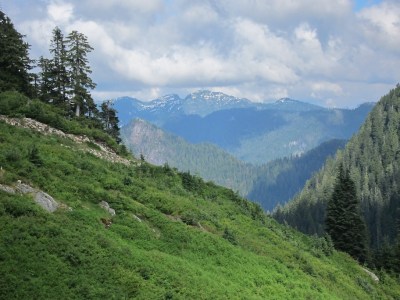
This is a desert, after all

The 3d tee, if memory serves
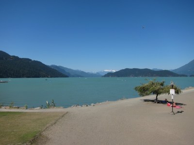
Pacific City, Tillamook OR
Our next stop was near Pacific City, OR. This area is known for its surf, and its cheese. While we were there there was a surf wave runner competition, an these guys make those machines fly! Definitely not for the weak of heart.
On our last day we toured the famous Tillamook Cheese factory. Interesting tour, and had some great ice cream (the other thing they’re famous for). It’s quite an operation, and uses some 1.1 million pounds of milk a day.
Finally, on the way back we noticed a huge building marked “AIR MUSEUM”. This was one of the 17 dirigible hangers built in WW2 to protect our coast. The remaining building (one burned 20 years ago) nowhouse an interesting assortment of static and flyable historical aircraft.

One of the four Haystack Rocks, this one in Pacific City

Pacific City beach, looking north

Man, that water is cold!

Here is a competitor jumping a wake....

..... and here he is, going just a bit too far!

That looks a little better!

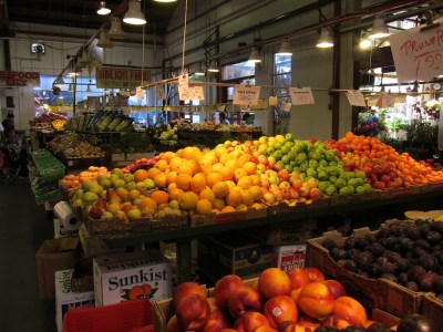
Tillamook Dairy

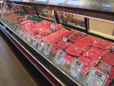
On the cheese production line

A long distance view of the Air Museum

A P-51 Mustang (WW2)

A Russian MIG-17 (Korean war)

A Messerschmidt war plane (German WW2)

Our cozy parking spot
Seaside, OR area
We spent a few days in Seaside, OR. Seaside is both a tourist area (huge beaches) and a historical area (Lewis and Clark ended their expedition here). So we visited some of the sites and explored the area.
Lewis and Clark did a monumental 2 year exploration trip from Missouri to what now is Seaside. Along the way, they charted new territory for the United States. Their contribution is remarkable. Once they got here, they established Fort Clatsop, where they endured a miserable and cold winter. They ran out of salt, necessary for meat curing (each expedition member ate 10 pounds of meat a day!). They boiled down seawater to reclaim salt and eventually had enough to support their trip back east. The fort was abandoned, later to be restored and is now a National Monument.
Shortly thereafter, John Astor established the first fur trading outpost on the west coast here. This eventually grew into Astoria, today a thriving city. Huge ships are in the deep water harbor to transport lumber around the world. It is also a cruise ship stop. The now famous Astoria Coluimn depicts the rich history of this area, as well as providing sweeping views of the area.

A stunning sunset just south of Seaside

Astoria waterfront with historic cannery

The Astoria Column. 164 steps to the top (we counted).

Detail of the "sgrafitto" depicting the area history

Fort Clatsop reconstruction. In 1806, Lewis, Clark, and 24 men endured a very wet and cold winter here.

The 2.5 mile long Promenade along the ocean shore in Seaside. Today was foggy.

The salt works, where they extracted 300 pounds of salt from sea water

John and Romola, along with Lewis and Clark, at the spot where their journey ended.
Clothing optional
Just a few miles from our campsite on the Columbia River there is a lovely stretch of woods, and a sandy beach. And a very nice state park, called Rooster Rock State Park. There are many marked hiking trails there, so we did some of them. However, we were warned that this whole beach — and it’s almost 2 miles long — is clothing optional. But hey, I’m European, and Romola is a nurse, so what did that matter?
Actually, we started early to beat the rush. It really is a nice hike, through the woods, along the river. And there were tons of blackberries! We ate our fill, for sure. At one time, we were picking when some guy came strolling by, totally necked except for a backpack. We exchanged “good mornings” and went our merry way.
We also saw one guy who lived dangerously, picking berries while he was nude from the waist down. Those blackberry bushes do have some wicked thorns on them!
On our way out we saw the place filling up rapidly. Hey, it’s in the 90’s today in Portland, get the rays while you can, and as many as you can! If nudity doesn’t offend you, it’s a really nice park.

The Columbian river is way down this time of year

The trail along the waterfront

Some of the beach front

Lots and lots of blackberries

And a dangerous way to pick them
Wahkeena and Latourell Falls
A few more spectacular falls along the Columbia Gorge! Both Falls have great tourist appeals on the bottom, next to the historic Columbia River Road. They are easy to drive to and easy to see. But both Falls have another personality… take the time to hike up several miles, mostly along the river, and you will see spectacular mountain and river views, with many more falls along the way.
Yes, it takes some energy, as these trails usually involve climbing, up to some 1,300 feet in a mile or two. And yes,there are places where you really have to use some caution, as a miss-step can result in some nasty injuries, even death. But use some care, and you will be rewarded wioth a very pleasant hike and more great scenery.

Tourist view of Wahkeena Falls

But hike along the river a ways....

And you get to the very photogenic Fairy Falls.

Tourist view of Latourell Falls

A slightly closer view

And here is Upper Latourell Falls

John, in an unusual split tree trunk

Not to be outdone, Romola found a strange tree trunk too

Looking south from Crown Point

And, looking north from Crown Point

Zooming in on Beacon Rock
Denny Creek, WA
Sunday was our last day in Washington, and it was nice and sunny, so we thought a nice hike would be in order. So did half of Seattle! The Denny Creek parking lot was full and overflowing down the road. We went anyway, and it was like walking in a city! However, once we got past the Sliding Rocks, the trail got rough and number of people thinned out considerably.
Denny Creek trail is very scenic, with mountains all around. And waterfalls, including one area where the rock is worn smooth and slick, and it is used for swimming and sliding down the rapids. It is close to Snoqualmie Pass, and about 30 miles from Seattle. This area was very busy!
Once we got past the Sliding Rocks, the trail got very rough and steep. But we were able to get up to Horseshoe Falls, admire it, and return back to the car.

A look up Denny Creek

A very scenic area

Lots of people playing in the water

Romola taking a break

The trail gets steep and very rough

Horseshoe Falls

At the head of Horseshoe Falls
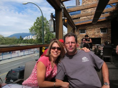
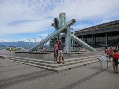
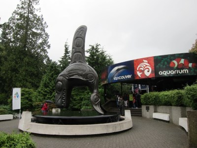
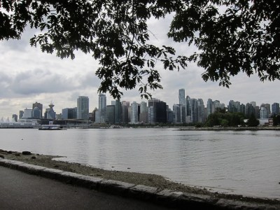
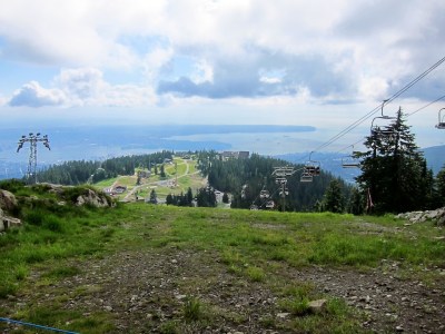
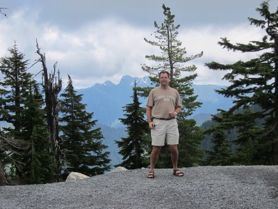
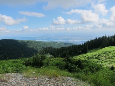
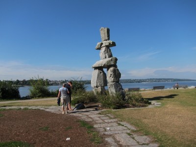
Vancouver, BC
Tanya and Shane booked an Alaska cruise out of Vancouver, with a few days beforehand to meet with family. So we stayed in the area so we could join them. We had a great time meeting family and sightseeing! Vancouver is one of my favorite cities, of course, I’m prejudiced since I grew up there….
Thanks to Jack and Cindy for putting us up for a few nights, and Al, Cheryl, Wilma and all the others for their help for a very tasty family dinner! We had a terrific time, especially meeting all 28 relatives!
Since I didn’t bring my computer, this blog covers 5 days and has been severly limited. Yet it is still long, some 30 pictures. Hope you like t TVhem!


Padilla Bay Estuary
Padilla Bay is an estuary at the saltwater edge of the large delta of the Skagit River in the Salish Sea. It is about eight miles long (north to south) and three miles across. In 1980, this bay was selected to be included in the National Estuarine Research Reserve System.
Because the bay is filled with sediment from the Skagit River, the bottom is very shallow, flat, and muddy. It is so shallow that almost the whole bay is intertidal. This means that it is flooded at high tide. When the tide goes out the whole bay empties out, exposing miles and miles of mud flats. This condition allows unusually large eelgrass meadows to grow. There are nearly 8,000 acres of eelgrass in Padilla Bay.
Eelgrass is valuable because it is habitat for wildlife and commercially harvested animals. Eelgrass is used as a nursery by salmon, crab, perch, and herring. Eelgrass is also home for millions of worms, shrimp, clams, and other invertebrates that are food for great blue herons, eagles, otters, seals, as well as humans. This is why Padilla Bay was selected to be a National Estuarine Research Reserve.
There is a pathway about 2 1/8 mile long that allows for a closer look at this strangely beautiful environment. Romola and I enjoyed our walk although we didn’t get to see as much wildlife as hoped.

A view of Mt. Baker from the trail

An old barn on the trail is one of the most photographed in the area.

A heron looking for a morning snack

A view of the mud flats

Another view

There must have been trees here sometime...
Sauk Mountain hike – spectacular!
Mt. Sauk is a very popular hike in this area. However, when we got close we said “crap!” because ahead of us we could see the very steep climb to the top. With many switchbacks, and a narrow, sometimes soft trail it was sure to be a challenge. And it was, but not as bad as we expected. We did see one guy fall off the trail, but fortunately he was only mildly banged up.
But once on top of all the switchbacks it was magnificent. We had to traverse snowfields, and some rather dangerous sections, but the view was worth it. This has been one of the most spectacular hikes we’ve done in the NorthWest.

Look close, and you can see the trail switchbacking all the way to the to the top.

A closer view of the switchbacks

Halfway up the trail looking back. Skagit River down below.

Catching some local flowers with the scenery.

A view of the trail on the way up

And the trail keeps climbing....

Looking back the way we came. Parking lot visible too.

Once over the top the rst of the hike is visible

Romola, traversing one of the snow fields

What a view.....

The trail goes that-a-way!

Another view from the top. Romola's blue hat is visible too!

The views just don't stop coming.

On the way back we noticed Mt. Baker peeking around a corner.

And let's not forget all the wildflowers growing in profusion
A family affair
Since Vancouver ZIsland was only a ferry ride away, we visited my brother Anton (and Ita) in Qualicum Beach as well as sister Ane (husband Dick) in Victoria. We had a great time re-acquainting ourselves, and to talk about old time as well as new. Here are a few pictures:

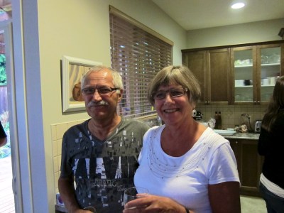
Anne and Dick, sharing a laugh

Romola and Ita

Anton
